Detecting Deforestation
Using geospatial technologies to better understand the changing environment
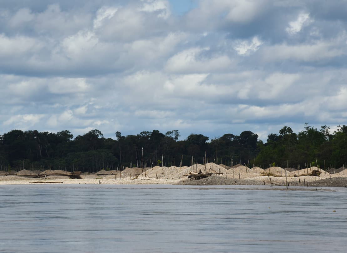
Illegal gold mining in the Amazon
Twenty years of gold mining in the Peruvian Amazon has negatively affected local communities and ecosystems. The destructive mines leave behind a barren, mercury-polluted landscape. Using high-resolution satellite imagery, geospatial data, artificial intelligence (AI) and machine learning, organizations can detect, monitor and assess deforestation caused by illegal gold mining in the Madre de Dios region of Peru.
Finding the right mapping solution
The sizes and skills of GIS teams vary greatly. As the source, Maxar offers a range of solutions from do-it-yourself imagery access to automated change detection and GIS-ready datasets.
Imagery basemaps
Maxar imagery basemaps provide a stunning, high-resolution and seamless image layer to support mapping, visualization and analytics across the globe.
Learn more
SecureWatch
A SecureWatch subscription gives you on-demand access to the world's most recent high-resolution satellite imagery and geospatial data.
Learn more

BaseVue Land Use/Land Cover
At 30 m resolution, this global LULC is up to date and consistently prepared, utilizing multitemporal, semi-automated classification.
Learn more
Understanding the changing environment is just a few clicks away
Contact us to speak with a Maxar team member about which solution best fits your organization